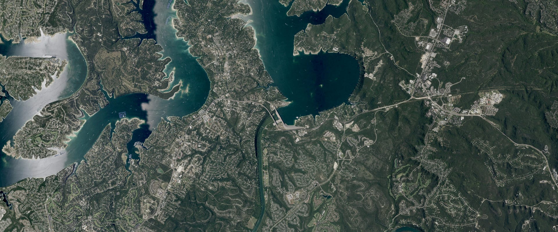
Lake Travis Water Level Today
3.8 ft below full pool, 93.6% full, and 7.6 ft higher than a year ago.
Daily reading for Oct 26
Trend and source week, month, year
Source: Texas Water Development Board. Check it at www.waterdatafortexas.org/reservoirs/individual/travis
Which Travis ramps work at 677.2 ft
12 of 13 ramps are usable at today's level, 0 marginal, 0 out of the water and 0 closed. Each ramp's minimum level is the operator's own figure; the comparison with today's level is ours.
- Arkansas Bend Usable
Usable with the lake at or above 647 ft (today is 30.2 ft above it)
Maintained by Travis County. For information, call 512-854-6285.
- Camp Creek Park Usable
Usable with the lake at or above 667 ft (today is 10.2 ft above it)
Maintained by LCRA. For information, call 512-473-3366.
- Cypress Creek Usable
Usable with the lake at or above 667 ft (today is 10.2 ft above it)
Maintained by Travis County. For information, call 512-854-7275.
- Gloster Bend Recreation Area Usable
Usable with the lake at or above 662 ft (today is 15.2 ft above it)
Maintained by LCRA. For information, call 512-473-3366.
- Jones Brothers Park Usable
Usable with the lake at or above 645 ft (today is 32.2 ft above it)
Maintained by City of Jonestown. For information, call 512-267-3243.
- Mansfield Dam Usable
Usable with the lake at or above 637 ft (today is 40.2 ft above it)
Maintained by Travis County. For information, call 512-854-7275.
- Muleshoe Bend Recreation Area Usable
Usable with the lake at or above 660 ft (today is 17.2 ft above it)
Maintained by LCRA. For information, call 512-473-3366.
- Narrows Recreation Area Usable
Usable with the lake at or above 660 ft (today is 17.7 ft above it)
Maintained by LCRA. For information, call 512-473-3366.
- Pace Bend - Collier Cove Usable
Usable with the lake at or above 653 ft (today is 24.2 ft above it)
Maintained by Travis County. For information, call 512-854-7275.
- Pace Bend - Tatum Cove Usable
Usable with the lake at or above 653 ft (today is 24.2 ft above it)
Maintained by Travis County. For information, call 512-854-7275.
- Pace Bend - Tournament Point Usable
Usable with the lake at or above 631 ft (today is 46.2 ft above it)
Maintained by Travis County. Closed, due to ramp being underwater. For information, call 512-854-7275.
- Sandy Creek Usable
Usable with the lake at or above 640 ft (today is 37.2 ft above it)
Maintained by Travis County. For information, call 512-854-7275
- Bob Wentz at Windy Point
No minimum level published.
Maintained by Travis County. For non-motorized boats only. For information, call 512-854-7275.
Ramps and minimum levels: Lower Colorado River Authority, Public Boat Ramps on the Highland Lakes, read Oct 26, 2026. Level: daily reading for Oct 26.
Lake Travis, Texas. Run by LCRA.
Lake Travis level
Daily level, past 12 months, feet above sea level (NAVD88). Shaded: the normal range, the middle half of readings for each date, 1991 to 2025. Texas Water Development Board.
Monthly average since Sep 30, 1940; gaps where the record is missing. Texas Water Development Board.
About Lake Travis today
How full is Lake Travis?93.6% full, 3.8 ft below full pool
93.6% full by storage on Oct 26. TWDB percent full: conservation storage / conservation capacity (storage above dead pool, capped at the conservation pool).
Full pool is 681.00 ft.
How low is Lake Travis?63.0 ft above its lowest since 1943
3.8 ft below full pool. The lowest daily level in our record since 1943 is 614.18 ft, on Aug 14, 1951. Our record starts Sep 30, 1940; the first 3 years are left out of the record low because the lake was still filling for the first time.
Is Lake Travis still dropping?Yes: down 0.36 ft this week
| Change | Feet | Level then |
|---|---|---|
| Past day (since Oct 25) | 0.04 down | 677.26 |
| Past 7 days (since Oct 19) | 0.36 down | 677.58 |
| Past 30 days (since Sep 26) | 2.27 up | 674.95 |
| Past year (since Oct 26, 2025) | 7.59 up | 669.63 |
Is Lake Travis normal for this time of year?9.9 ft above normal for this date
Normal for Oct 26 is 667.29 ft: the median of 245 daily readings within 3 days of this date, 1991 to 2025. Lake Travis is 9.9 ft above it.
What is the water temperature at Lake Travis?No official reading for this lake
No USGS in-lake water-temperature gauge found within the lake area (checked 2026-10-24). Stream gauges above or below the dam were not used: tailwater and inflow temperatures differ from the lake surface. Checked 2026-10-26: no lake-temperature product found from LCRA (operator) either.
When was Lake Travis last full?Aug 2, 2026
The last day in our record at or above 681.00 ft, today's full pool.
Lake Travis full pool level681.00 ft
Elevations are feet above sea level (NAVD88).
Where it comes from: TWDB conservation_pool_elevation from recent-conditions.geojson (refreshed daily).
Lake Travis this time last year669.6 ft on Oct 26, 2025
7.6 ft higher than a year ago.
Levels: Texas Water Development Board, daily reading for Oct 26. Normal and records come from Creek & Lake's stored daily history (30,697 days since 1940); they aren't official unless the operator publishes the same value.