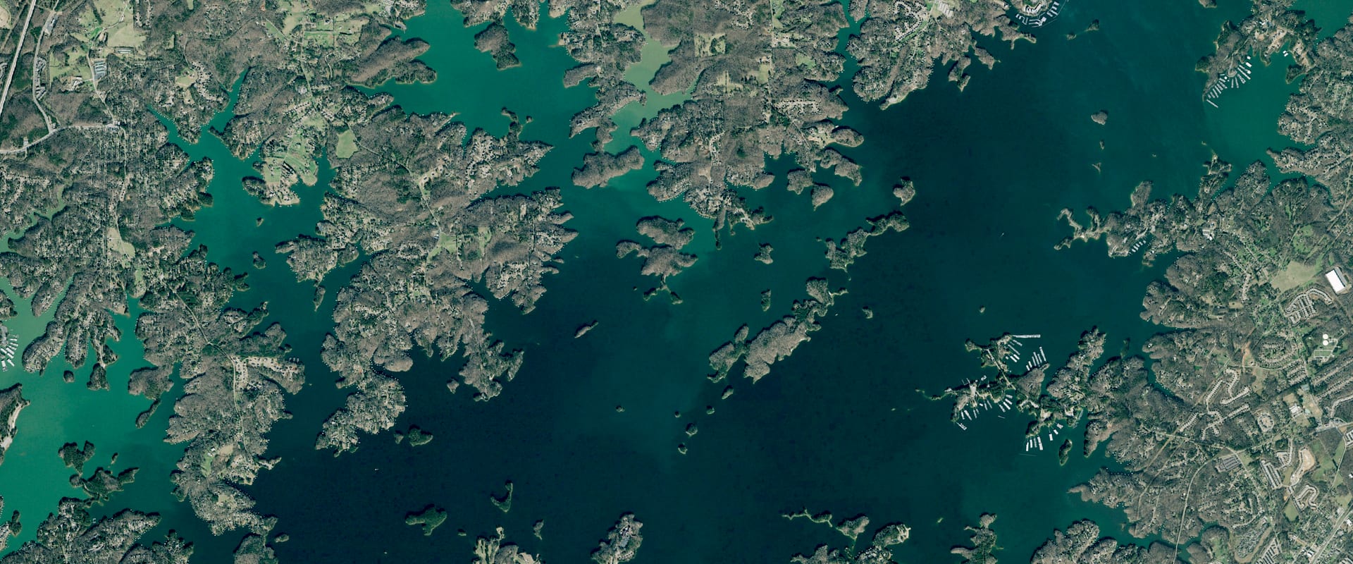
Lake Lanier Water Level Today
7.6 ft below full pool, 74.3% full (of this season's full pool), and 2.9 ft lower than a year ago.
Read Oct 26, 3:00 PM EDT
Trend and source week, month, year
Source: U.S. Army Corps of Engineers. Check it at waterdata.usgs.gov/monitoring-location/02334400/
Which Lanier ramps work at 1,063.0 ft
34 of 57 ramps have a usable lane today, 2 are marginal, 9 are out of the water and 12 are closed by the Corps. Lane by lane: 69 of 105 usable and open. Tap a ramp, on the map or in the list, for its lanes and directions.
Out of water9 rampsBethel, Duckett Mill Day Use, Lanier Point and 6 more
- Out of water
Bethel
Forsyth County · 2 lanes
Directions in Google MapsLane End of ramp Water today Status Bethel Left 1,060.4 2.6 ft Out of water Bethel Right 1,060.4 2.6 ft Out of water Location, elevations and closures: U.S. Army Corps of Engineers, Mobile District. "Closed per USACE" is the Corps' own open or closed flag, separate from the water depth. Water at the end of the concrete today. The Corps counts 3.5 ft or more as usable, 3.0 to 3.5 ft as marginal, and under 3.0 ft as not usable.
- Out of water
Duckett Mill Day Use
Hall County · 1 lane
Directions in Google MapsLane End of ramp Water today Status Duckett Mill Day Use 1,060.1 2.9 ft Out of water Location, elevations and closures: U.S. Army Corps of Engineers, Mobile District. "Closed per USACE" is the Corps' own open or closed flag, separate from the water depth. Water at the end of the concrete today. The Corps counts 3.5 ft or more as usable, 3.0 to 3.5 ft as marginal, and under 3.0 ft as not usable.
- Out of water
Lanier Point
Hall County · 1 lane
Directions in Google MapsLane End of ramp Water today Status Lanier Point 1,062.2 0.8 ft Out of water Location, elevations and closures: U.S. Army Corps of Engineers, Mobile District. "Closed per USACE" is the Corps' own open or closed flag, separate from the water depth. Water at the end of the concrete today. The Corps counts 3.5 ft or more as usable, 3.0 to 3.5 ft as marginal, and under 3.0 ft as not usable.
- Out of water
Lumpkin County Park
Lumpkin County · 1 lane
Directions in Google MapsLane End of ramp Water today Status Lumpkin County Park 1,060.3 2.7 ft Out of water Location, elevations and closures: U.S. Army Corps of Engineers, Mobile District. "Closed per USACE" is the Corps' own open or closed flag, separate from the water depth. Water at the end of the concrete today. The Corps counts 3.5 ft or more as usable, 3.0 to 3.5 ft as marginal, and under 3.0 ft as not usable.
- Out of water
Nix Bridge
Dawson County · 1 lane
Directions in Google MapsLane End of ramp Water today Status Nix Bridge 1,061.0 2.0 ft Out of water Location, elevations and closures: U.S. Army Corps of Engineers, Mobile District. "Closed per USACE" is the Corps' own open or closed flag, separate from the water depth. Water at the end of the concrete today. The Corps counts 3.5 ft or more as usable, 3.0 to 3.5 ft as marginal, and under 3.0 ft as not usable.
- Out of water
River Forks
Hall County · 1 lane
Directions in Google MapsLane End of ramp Water today Status River Forks 1,062.3 0.7 ft Out of water Location, elevations and closures: U.S. Army Corps of Engineers, Mobile District. "Closed per USACE" is the Corps' own open or closed flag, separate from the water depth. Water at the end of the concrete today. The Corps counts 3.5 ft or more as usable, 3.0 to 3.5 ft as marginal, and under 3.0 ft as not usable.
- Out of water
Robinson
Hall County · 2 lanes
Directions in Google MapsLane End of ramp Water today Status Robinson Left 1,060.7 2.3 ft Out of water Robinson Right 1,060.7 2.3 ft Out of water Location, elevations and closures: U.S. Army Corps of Engineers, Mobile District. "Closed per USACE" is the Corps' own open or closed flag, separate from the water depth. Water at the end of the concrete today. The Corps counts 3.5 ft or more as usable, 3.0 to 3.5 ft as marginal, and under 3.0 ft as not usable.
- Out of water
Shoal Creek
Hall County · 1 lane
Directions in Google MapsLane End of ramp Water today Status Shoal Creek 1,061.4 1.6 ft Out of water Location, elevations and closures: U.S. Army Corps of Engineers, Mobile District. "Closed per USACE" is the Corps' own open or closed flag, separate from the water depth. Water at the end of the concrete today. The Corps counts 3.5 ft or more as usable, 3.0 to 3.5 ft as marginal, and under 3.0 ft as not usable.
- Out of water
Simpson
Hall County · 1 lane
Directions in Google MapsLane End of ramp Water today Status Simpson 1,061.0 2.0 ft Out of water Location, elevations and closures: U.S. Army Corps of Engineers, Mobile District. "Closed per USACE" is the Corps' own open or closed flag, separate from the water depth. Water at the end of the concrete today. The Corps counts 3.5 ft or more as usable, 3.0 to 3.5 ft as marginal, and under 3.0 ft as not usable.
Marginal2 rampsLake Lanier Islands Cove, Shady Grove
- Marginal
Lake Lanier Islands Cove
Hall County · 1 lane
Lane End of ramp Water today Status Lake Lanier Islands Cove 1,060.0 3.0 ft Marginal No map location from the Corps yet, so no directions link.
Location, elevations and closures: U.S. Army Corps of Engineers, Mobile District. "Closed per USACE" is the Corps' own open or closed flag, separate from the water depth. Water at the end of the concrete today. The Corps counts 3.5 ft or more as usable, 3.0 to 3.5 ft as marginal, and under 3.0 ft as not usable.
- Marginal
Shady Grove
Forsyth County · 1 lane
Directions in Google MapsLane End of ramp Water today Status Shady Grove 1,059.8 3.2 ft Marginal Location, elevations and closures: U.S. Army Corps of Engineers, Mobile District. "Closed per USACE" is the Corps' own open or closed flag, separate from the water depth. Water at the end of the concrete today. The Corps counts 3.5 ft or more as usable, 3.0 to 3.5 ft as marginal, and under 3.0 ft as not usable.
Usable34 rampsAqualand, Bald Ridge Marina, Balus Creek and 31 more
- Usable
Aqualand
Hall County · 1 lane
Directions in Google MapsLane End of ramp Water today Status Aqualand 1,058.4 4.6 ft Usable Location, elevations and closures: U.S. Army Corps of Engineers, Mobile District. "Closed per USACE" is the Corps' own open or closed flag, separate from the water depth. Water at the end of the concrete today. The Corps counts 3.5 ft or more as usable, 3.0 to 3.5 ft as marginal, and under 3.0 ft as not usable.
- Usable
Bald Ridge Marina
Forsyth County · 2 lanes
Directions in Google MapsLane End of ramp Water today Status Bald Ridge Marina Left 1,055.0 8.0 ft Usable Bald Ridge Marina Right 1,064.6 −1.6 ft Out of water Location, elevations and closures: U.S. Army Corps of Engineers, Mobile District. "Closed per USACE" is the Corps' own open or closed flag, separate from the water depth. Water at the end of the concrete today. The Corps counts 3.5 ft or more as usable, 3.0 to 3.5 ft as marginal, and under 3.0 ft as not usable.
- Usable
Balus Creek
Hall County · 4 lanes
Directions in Google MapsLane End of ramp Water today Status Balus Creek Mid Left 1,049.5 13.5 ft Usable Balus Creek Mid Right 1,049.6 13.4 ft Usable Balus Creek Right 1,049.7 13.3 ft Usable Balus Creek Left 1,052.8 10.2 ft Usable Location, elevations and closures: U.S. Army Corps of Engineers, Mobile District. "Closed per USACE" is the Corps' own open or closed flag, separate from the water depth. Water at the end of the concrete today. The Corps counts 3.5 ft or more as usable, 3.0 to 3.5 ft as marginal, and under 3.0 ft as not usable.
- Usable
Big Creek East
Hall County · 2 lanes
Directions in Google MapsLane End of ramp Water today Status Big Creek (East) Right 1,050.7 12.3 ft Usable Big Creek (East) Left 1,057.4 5.6 ft Usable Location, elevations and closures: U.S. Army Corps of Engineers, Mobile District. "Closed per USACE" is the Corps' own open or closed flag, separate from the water depth. Water at the end of the concrete today. The Corps counts 3.5 ft or more as usable, 3.0 to 3.5 ft as marginal, and under 3.0 ft as not usable.
- Usable
Big Creek West
Hall County · 2 lanes
Directions in Google MapsLane End of ramp Water today Status Big Creek (West) Left 1,058.9 4.1 ft Usable Big Creek (West) Right 1,058.9 4.1 ft Usable Location, elevations and closures: U.S. Army Corps of Engineers, Mobile District. "Closed per USACE" is the Corps' own open or closed flag, separate from the water depth. Water at the end of the concrete today. The Corps counts 3.5 ft or more as usable, 3.0 to 3.5 ft as marginal, and under 3.0 ft as not usable.
- Usable
Bolding Mill
Hall County · 1 lane
Directions in Google MapsLane End of ramp Water today Status Bolding Mill 1,055.9 7.1 ft Usable Location, elevations and closures: U.S. Army Corps of Engineers, Mobile District. "Closed per USACE" is the Corps' own open or closed flag, separate from the water depth. Water at the end of the concrete today. The Corps counts 3.5 ft or more as usable, 3.0 to 3.5 ft as marginal, and under 3.0 ft as not usable.
- Usable
Burton Mill
Hall County · 2 lanes
Directions in Google MapsLane End of ramp Water today Status Burton Mill (Curbed) 1,058.5 4.5 ft Usable Burton Mill (Uncurbed) 1,060.5 2.5 ft Out of water Location, elevations and closures: U.S. Army Corps of Engineers, Mobile District. "Closed per USACE" is the Corps' own open or closed flag, separate from the water depth. Water at the end of the concrete today. The Corps counts 3.5 ft or more as usable, 3.0 to 3.5 ft as marginal, and under 3.0 ft as not usable.
- Usable
Charleston
Forsyth County · 3 lanes
Directions in Google MapsLane End of ramp Water today Status Charleston Right 1,045.8 17.2 ft Usable Charleston Middle 1,046.2 16.8 ft Usable Charleston Left 1,050.7 12.3 ft Usable Location, elevations and closures: U.S. Army Corps of Engineers, Mobile District. "Closed per USACE" is the Corps' own open or closed flag, separate from the water depth. Water at the end of the concrete today. The Corps counts 3.5 ft or more as usable, 3.0 to 3.5 ft as marginal, and under 3.0 ft as not usable.
- Usable
Clarks Bridge
Hall County · 3 lanes
Directions in Google MapsLane End of ramp Water today Status Clarks Bridge Left 1,052.0 11.0 ft Usable Clarks Bridge Middle 1,052.0 11.0 ft Usable Clarks Bridge Right 1,055.0 8.0 ft Usable Location, elevations and closures: U.S. Army Corps of Engineers, Mobile District. "Closed per USACE" is the Corps' own open or closed flag, separate from the water depth. Water at the end of the concrete today. The Corps counts 3.5 ft or more as usable, 3.0 to 3.5 ft as marginal, and under 3.0 ft as not usable.
- Usable
East Bank
Gwinnett County · 4 lanes
Directions in Google MapsLane End of ramp Water today Status Eas Bank Middle Right 1,051.0 12.0 ft Usable East Bank Right 1,051.0 12.0 ft Usable East Bank Left 1,055.0 8.0 ft Usable East Bank Middle Left 1,055.0 8.0 ft Usable Location, elevations and closures: U.S. Army Corps of Engineers, Mobile District. "Closed per USACE" is the Corps' own open or closed flag, separate from the water depth. Water at the end of the concrete today. The Corps counts 3.5 ft or more as usable, 3.0 to 3.5 ft as marginal, and under 3.0 ft as not usable.
- Usable
Gainesville
Hall County · 1 lane
Directions in Google MapsLane End of ramp Water today Status Gainesville 1,055.0 8.0 ft Usable Location, elevations and closures: U.S. Army Corps of Engineers, Mobile District. "Closed per USACE" is the Corps' own open or closed flag, separate from the water depth. Water at the end of the concrete today. The Corps counts 3.5 ft or more as usable, 3.0 to 3.5 ft as marginal, and under 3.0 ft as not usable.
- Usable
Holly Park
Hall County · 1 lane
Directions in Google MapsLane End of ramp Water today Status Holly Park 1,055.0 8.0 ft Usable Location, elevations and closures: U.S. Army Corps of Engineers, Mobile District. "Closed per USACE" is the Corps' own open or closed flag, separate from the water depth. Water at the end of the concrete today. The Corps counts 3.5 ft or more as usable, 3.0 to 3.5 ft as marginal, and under 3.0 ft as not usable.
- Usable
Lake Lanier Islands Bridge
Hall County · 1 lane
Directions in Google MapsLane End of ramp Water today Status Lake Lanier Islands Bridge 1,055.0 8.0 ft Usable Location, elevations and closures: U.S. Army Corps of Engineers, Mobile District. "Closed per USACE" is the Corps' own open or closed flag, separate from the water depth. Water at the end of the concrete today. The Corps counts 3.5 ft or more as usable, 3.0 to 3.5 ft as marginal, and under 3.0 ft as not usable.
- Usable
Laurel Park
Hall County · 1 lane
Directions in Google MapsLane End of ramp Water today Status Laurel Park 4-Lanes 1,048.0 15.0 ft Usable Location, elevations and closures: U.S. Army Corps of Engineers, Mobile District. "Closed per USACE" is the Corps' own open or closed flag, separate from the water depth. Water at the end of the concrete today. The Corps counts 3.5 ft or more as usable, 3.0 to 3.5 ft as marginal, and under 3.0 ft as not usable.
- Usable
Little Hall
Hall County · 4 lanes
Directions in Google MapsLane End of ramp Water today Status Little Hall Left 1,051.0 12.0 ft Usable Little Hall Middle Left 1,051.0 12.0 ft Usable Little Hall Middle Right 1,055.0 8.0 ft Usable Little Hall Right 1,055.0 8.0 ft Usable Location, elevations and closures: U.S. Army Corps of Engineers, Mobile District. "Closed per USACE" is the Corps' own open or closed flag, separate from the water depth. Water at the end of the concrete today. The Corps counts 3.5 ft or more as usable, 3.0 to 3.5 ft as marginal, and under 3.0 ft as not usable.
- Usable
Little Ridge
Forsyth County · 2 lanes
Directions in Google MapsLane End of ramp Water today Status Little Ridge Left 1,055.3 7.7 ft Usable Little Ridge Right 1,055.3 7.7 ft Usable Location, elevations and closures: U.S. Army Corps of Engineers, Mobile District. "Closed per USACE" is the Corps' own open or closed flag, separate from the water depth. Water at the end of the concrete today. The Corps counts 3.5 ft or more as usable, 3.0 to 3.5 ft as marginal, and under 3.0 ft as not usable.
- Usable
Little River
Hall County · 2 lanes
Directions in Google MapsLane End of ramp Water today Status Little River Right 1,052.7 10.3 ft Usable Little River Left 1,060.7 2.3 ft Out of water Location, elevations and closures: U.S. Army Corps of Engineers, Mobile District. "Closed per USACE" is the Corps' own open or closed flag, separate from the water depth. Water at the end of the concrete today. The Corps counts 3.5 ft or more as usable, 3.0 to 3.5 ft as marginal, and under 3.0 ft as not usable.
- Usable
Mary Alice
Forsyth County · 4 lanes
Directions in Google MapsLane End of ramp Water today Status Mary Alice Left 1,055.0 8.0 ft Usable Mary Alice Mid Left 1,057.0 6.0 ft Usable Mary Alice Mid Right 1,057.0 6.0 ft Usable Mary Alice Right 1,057.0 6.0 ft Usable Location, elevations and closures: U.S. Army Corps of Engineers, Mobile District. "Closed per USACE" is the Corps' own open or closed flag, separate from the water depth. Water at the end of the concrete today. The Corps counts 3.5 ft or more as usable, 3.0 to 3.5 ft as marginal, and under 3.0 ft as not usable.
- Usable
Mountain View
Hall County · 1 lane
Directions in Google MapsLane End of ramp Water today Status Mountain View 1,058.6 4.4 ft Usable Location, elevations and closures: U.S. Army Corps of Engineers, Mobile District. "Closed per USACE" is the Corps' own open or closed flag, separate from the water depth. Water at the end of the concrete today. The Corps counts 3.5 ft or more as usable, 3.0 to 3.5 ft as marginal, and under 3.0 ft as not usable.
- Usable
Sardis Creek
Hall County · 3 lanes
Directions in Google MapsLane End of ramp Water today Status Sardis Creek Left 1,053.3 9.7 ft Usable Sardis Creek Middle 1,060.4 2.6 ft Out of water Sardis Creek Right 1,060.4 2.6 ft Out of water Location, elevations and closures: U.S. Army Corps of Engineers, Mobile District. "Closed per USACE" is the Corps' own open or closed flag, separate from the water depth. Water at the end of the concrete today. The Corps counts 3.5 ft or more as usable, 3.0 to 3.5 ft as marginal, and under 3.0 ft as not usable.
- Usable
Shoal Creek Day Use
Hall County · 2 lanes
Directions in Google MapsLane End of ramp Water today Status Shoal Creek Day Use (Right) 1,050.1 12.9 ft Usable Shoal Creek Day Use (Left) 1,056.0 7.0 ft Usable Location, elevations and closures: U.S. Army Corps of Engineers, Mobile District. "Closed per USACE" is the Corps' own open or closed flag, separate from the water depth. Water at the end of the concrete today. The Corps counts 3.5 ft or more as usable, 3.0 to 3.5 ft as marginal, and under 3.0 ft as not usable.
- Usable
Six Mile Creek
Forsyth County · 2 lanes
Directions in Google MapsLane End of ramp Water today Status Six Mile Creek Left 1,054.5 8.5 ft Usable Six Mile Creek Right 1,054.7 8.3 ft Usable Location, elevations and closures: U.S. Army Corps of Engineers, Mobile District. "Closed per USACE" is the Corps' own open or closed flag, separate from the water depth. Water at the end of the concrete today. The Corps counts 3.5 ft or more as usable, 3.0 to 3.5 ft as marginal, and under 3.0 ft as not usable.
- Usable
Starboard
Hall County · 1 lane
Directions in Google MapsLane End of ramp Water today Status Starboard 1,055.0 8.0 ft Usable Location, elevations and closures: U.S. Army Corps of Engineers, Mobile District. "Closed per USACE" is the Corps' own open or closed flag, separate from the water depth. Water at the end of the concrete today. The Corps counts 3.5 ft or more as usable, 3.0 to 3.5 ft as marginal, and under 3.0 ft as not usable.
- Usable
Sunrise
Hall County · 1 lane
Directions in Google MapsLane End of ramp Water today Status Sunrise 1,055.0 8.0 ft Usable Location, elevations and closures: U.S. Army Corps of Engineers, Mobile District. "Closed per USACE" is the Corps' own open or closed flag, separate from the water depth. Water at the end of the concrete today. The Corps counts 3.5 ft or more as usable, 3.0 to 3.5 ft as marginal, and under 3.0 ft as not usable.
- Usable
Thompson Bridge
Hall County · 1 lane
Directions in Google MapsLane End of ramp Water today Status Thompson Bridge 1,055.0 8.0 ft Usable Location, elevations and closures: U.S. Army Corps of Engineers, Mobile District. "Closed per USACE" is the Corps' own open or closed flag, separate from the water depth. Water at the end of the concrete today. The Corps counts 3.5 ft or more as usable, 3.0 to 3.5 ft as marginal, and under 3.0 ft as not usable.
- Usable
Thompson Creek
Dawson County · 3 lanes
Directions in Google MapsLane End of ramp Water today Status Thompson Creek Left 1,056.5 6.5 ft Usable Thompson Creek Middle 1,056.5 6.5 ft Usable Thompson Creek Right 1,056.5 6.5 ft Usable Location, elevations and closures: U.S. Army Corps of Engineers, Mobile District. "Closed per USACE" is the Corps' own open or closed flag, separate from the water depth. Water at the end of the concrete today. The Corps counts 3.5 ft or more as usable, 3.0 to 3.5 ft as marginal, and under 3.0 ft as not usable.
- Usable
Tidwell
Forsyth County · 3 lanes
Directions in Google MapsLane End of ramp Water today Status Tidwell Right 1,048.2 14.8 ft Usable Tidwell Left 1,055.2 7.8 ft Usable Tidwell Middle 1,055.2 7.8 ft Usable Location, elevations and closures: U.S. Army Corps of Engineers, Mobile District. "Closed per USACE" is the Corps' own open or closed flag, separate from the water depth. Water at the end of the concrete today. The Corps counts 3.5 ft or more as usable, 3.0 to 3.5 ft as marginal, and under 3.0 ft as not usable.
- Usable
Toto Creek
Dawson County · 4 lanes
Directions in Google MapsLane End of ramp Water today Status Toto Creek Left 1,058.0 5.0 ft Usable Toto Creek Mid Left 1,058.0 5.0 ft Usable Toto Creek Mid Right 1,058.0 5.0 ft Usable Toto Creek Right 1,060.4 2.6 ft Out of water Location, elevations and closures: U.S. Army Corps of Engineers, Mobile District. "Closed per USACE" is the Corps' own open or closed flag, separate from the water depth. Water at the end of the concrete today. The Corps counts 3.5 ft or more as usable, 3.0 to 3.5 ft as marginal, and under 3.0 ft as not usable.
- Usable
Two Mile Creek
Forsyth County · 1 lane
Directions in Google MapsLane End of ramp Water today Status Two Mile Creek 1,058.6 4.4 ft Usable Location, elevations and closures: U.S. Army Corps of Engineers, Mobile District. "Closed per USACE" is the Corps' own open or closed flag, separate from the water depth. Water at the end of the concrete today. The Corps counts 3.5 ft or more as usable, 3.0 to 3.5 ft as marginal, and under 3.0 ft as not usable.
- Usable
Van Pugh North
Hall County · 2 lanes
Directions in Google MapsLane End of ramp Water today Status Van Pugh North Right 1,051.3 11.7 ft Usable Van Pugh North Left 1,057.5 5.5 ft Usable Location, elevations and closures: U.S. Army Corps of Engineers, Mobile District. "Closed per USACE" is the Corps' own open or closed flag, separate from the water depth. Water at the end of the concrete today. The Corps counts 3.5 ft or more as usable, 3.0 to 3.5 ft as marginal, and under 3.0 ft as not usable.
- Usable
Vanns Tavern
Forsyth County · 3 lanes
Directions in Google MapsLane End of ramp Water today Status Vanns Tavern Left 1,053.1 9.9 ft Usable Vanns Tavern Middle 1,057.1 5.9 ft Usable Vanns Tavern Right 1,057.1 5.9 ft Usable Location, elevations and closures: U.S. Army Corps of Engineers, Mobile District. "Closed per USACE" is the Corps' own open or closed flag, separate from the water depth. Water at the end of the concrete today. The Corps counts 3.5 ft or more as usable, 3.0 to 3.5 ft as marginal, and under 3.0 ft as not usable.
- Usable
Wahoo Creek
Hall County · 1 lane
Directions in Google MapsLane End of ramp Water today Status Wahoo Creek 1,056.4 6.6 ft Usable Location, elevations and closures: U.S. Army Corps of Engineers, Mobile District. "Closed per USACE" is the Corps' own open or closed flag, separate from the water depth. Water at the end of the concrete today. The Corps counts 3.5 ft or more as usable, 3.0 to 3.5 ft as marginal, and under 3.0 ft as not usable.
- Usable
War Hill
Dawson County · 4 lanes
Directions in Google MapsLane End of ramp Water today Status War Hill Left 1,053.2 9.8 ft Usable War Hill Mid Left 1,057.5 5.5 ft Usable War Hill Mid Right 1,057.5 5.5 ft Usable War Hill Right 1,057.5 5.5 ft Usable Location, elevations and closures: U.S. Army Corps of Engineers, Mobile District. "Closed per USACE" is the Corps' own open or closed flag, separate from the water depth. Water at the end of the concrete today. The Corps counts 3.5 ft or more as usable, 3.0 to 3.5 ft as marginal, and under 3.0 ft as not usable.
- Usable
Young Deer
Forsyth County · 3 lanes
Directions in Google MapsLane End of ramp Water today Status Young Deer Right 1,055.0 8.0 ft Usable Young Deer Left 1,058.0 5.0 ft Usable Young Deer Middle 1,058.0 5.0 ft Usable Location, elevations and closures: U.S. Army Corps of Engineers, Mobile District. "Closed per USACE" is the Corps' own open or closed flag, separate from the water depth. Water at the end of the concrete today. The Corps counts 3.5 ft or more as usable, 3.0 to 3.5 ft as marginal, and under 3.0 ft as not usable.
Closed per USACE12 rampsBald Ridge Campground, Belton Bridge, Chestnut Ridge and 9 more
- Closed per USACE
Bald Ridge Campground
Forsyth County · 1 lane
Directions in Google MapsLane End of ramp Water today Status Bald Ridge Campground 1,054.6 8.4 ft Closed per USACE Location, elevations and closures: U.S. Army Corps of Engineers, Mobile District. "Closed per USACE" is the Corps' own open or closed flag, separate from the water depth. Water at the end of the concrete today. The Corps counts 3.5 ft or more as usable, 3.0 to 3.5 ft as marginal, and under 3.0 ft as not usable.
- Closed per USACE
Belton Bridge
Hall County · 1 lane
Directions in Google MapsLane End of ramp Water today Status Belton Bridge 1,064.1 −1.1 ft Closed per USACE Location, elevations and closures: U.S. Army Corps of Engineers, Mobile District. "Closed per USACE" is the Corps' own open or closed flag, separate from the water depth. Water at the end of the concrete today. The Corps counts 3.5 ft or more as usable, 3.0 to 3.5 ft as marginal, and under 3.0 ft as not usable.
- Closed per USACE
Chestnut Ridge
Hall County · 1 lane
Directions in Google MapsLane End of ramp Water today Status Chestnut Ridge 1,055.0 8.0 ft Closed per USACE Location, elevations and closures: U.S. Army Corps of Engineers, Mobile District. "Closed per USACE" is the Corps' own open or closed flag, separate from the water depth. Water at the end of the concrete today. The Corps counts 3.5 ft or more as usable, 3.0 to 3.5 ft as marginal, and under 3.0 ft as not usable.
- Closed per USACE
Gwinnett County Park
County · 1 lane
Directions in Google MapsLane End of ramp Water today Status Gwinnett County Park 1,060.0 3.0 ft Closed per USACE Location, elevations and closures: U.S. Army Corps of Engineers, Mobile District. "Closed per USACE" is the Corps' own open or closed flag, separate from the water depth. Water at the end of the concrete today. The Corps counts 3.5 ft or more as usable, 3.0 to 3.5 ft as marginal, and under 3.0 ft as not usable.
- Closed per USACE
Keiths Bridge
Forsyth County · 2 lanes
Directions in Google MapsLane End of ramp Water today Status Keith's Bridge Left 1,055.0 8.0 ft Closed per USACE Keith's Bridge Right 1,057.1 5.9 ft Closed per USACE Location, elevations and closures: U.S. Army Corps of Engineers, Mobile District. "Closed per USACE" is the Corps' own open or closed flag, separate from the water depth. Water at the end of the concrete today. The Corps counts 3.5 ft or more as usable, 3.0 to 3.5 ft as marginal, and under 3.0 ft as not usable.
- Closed per USACE
Lanier Park
Gwinnett County · 3 lanes
Directions in Google MapsLane End of ramp Water today Status Lanier Park Left 1,058.7 4.3 ft Closed per USACE Lanier Park Middle 1,058.7 4.3 ft Closed per USACE Lanier Park Right 1,058.7 4.3 ft Closed per USACE Location, elevations and closures: U.S. Army Corps of Engineers, Mobile District. "Closed per USACE" is the Corps' own open or closed flag, separate from the water depth. Water at the end of the concrete today. The Corps counts 3.5 ft or more as usable, 3.0 to 3.5 ft as marginal, and under 3.0 ft as not usable.
- Closed per USACE
Long Hollow
Forsyth County · 2 lanes
Directions in Google MapsLane End of ramp Water today Status Long Hollow Right 1,060.0 3.0 ft Closed per USACE Long Hollow Left 1,062.9 0.1 ft Closed per USACE Location, elevations and closures: U.S. Army Corps of Engineers, Mobile District. "Closed per USACE" is the Corps' own open or closed flag, separate from the water depth. Water at the end of the concrete today. The Corps counts 3.5 ft or more as usable, 3.0 to 3.5 ft as marginal, and under 3.0 ft as not usable.
- Closed per USACE
Lula
Hall County · 1 lane
Directions in Google MapsLane End of ramp Water today Status Lula 1,061.2 1.8 ft Closed per USACE Location, elevations and closures: U.S. Army Corps of Engineers, Mobile District. "Closed per USACE" is the Corps' own open or closed flag, separate from the water depth. Water at the end of the concrete today. The Corps counts 3.5 ft or more as usable, 3.0 to 3.5 ft as marginal, and under 3.0 ft as not usable.
- Closed per USACE
Old Federal Campground
Hall County · 1 lane
Directions in Google MapsLane End of ramp Water today Status Old Federal Campground 1,061.5 1.5 ft Closed per USACE Location, elevations and closures: U.S. Army Corps of Engineers, Mobile District. "Closed per USACE" is the Corps' own open or closed flag, separate from the water depth. Water at the end of the concrete today. The Corps counts 3.5 ft or more as usable, 3.0 to 3.5 ft as marginal, and under 3.0 ft as not usable.
- Closed per USACE
Old Federal Day Use
Hall County · 2 lanes
Directions in Google MapsLane End of ramp Water today Status Old Federal Day Use (Single Lane) 1,051.5 11.5 ft Closed per USACE Old Federal Day Use (3 Lane) 1,059.2 3.8 ft Closed per USACE Location, elevations and closures: U.S. Army Corps of Engineers, Mobile District. "Closed per USACE" is the Corps' own open or closed flag, separate from the water depth. Water at the end of the concrete today. The Corps counts 3.5 ft or more as usable, 3.0 to 3.5 ft as marginal, and under 3.0 ft as not usable.
- Closed per USACE
Sawnee
Forsyth County · 1 lane
Directions in Google MapsLane End of ramp Water today Status Sawnee 1,058.5 4.5 ft Closed per USACE Location, elevations and closures: U.S. Army Corps of Engineers, Mobile District. "Closed per USACE" is the Corps' own open or closed flag, separate from the water depth. Water at the end of the concrete today. The Corps counts 3.5 ft or more as usable, 3.0 to 3.5 ft as marginal, and under 3.0 ft as not usable.
- Closed per USACE
Van Pugh South
Hall County · 1 lane
Directions in Google MapsLane End of ramp Water today Status Van Pugh South 1,060.7 2.3 ft Closed per USACE Location, elevations and closures: U.S. Army Corps of Engineers, Mobile District. "Closed per USACE" is the Corps' own open or closed flag, separate from the water depth. Water at the end of the concrete today. The Corps counts 3.5 ft or more as usable, 3.0 to 3.5 ft as marginal, and under 3.0 ft as not usable.
Ramp locations, elevations and closures: U.S. Army Corps of Engineers, Mobile District. Water depths use the level read Oct 26, 3:00 PM EDT. 1 ramp has no map location yet. Shoreline © OpenStreetMap contributors (ODbL).
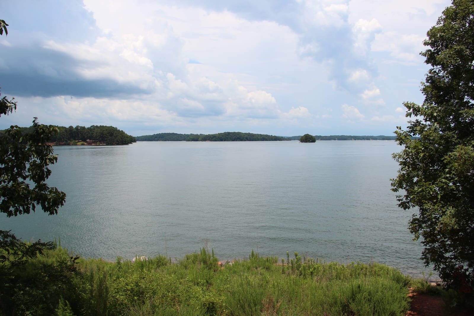
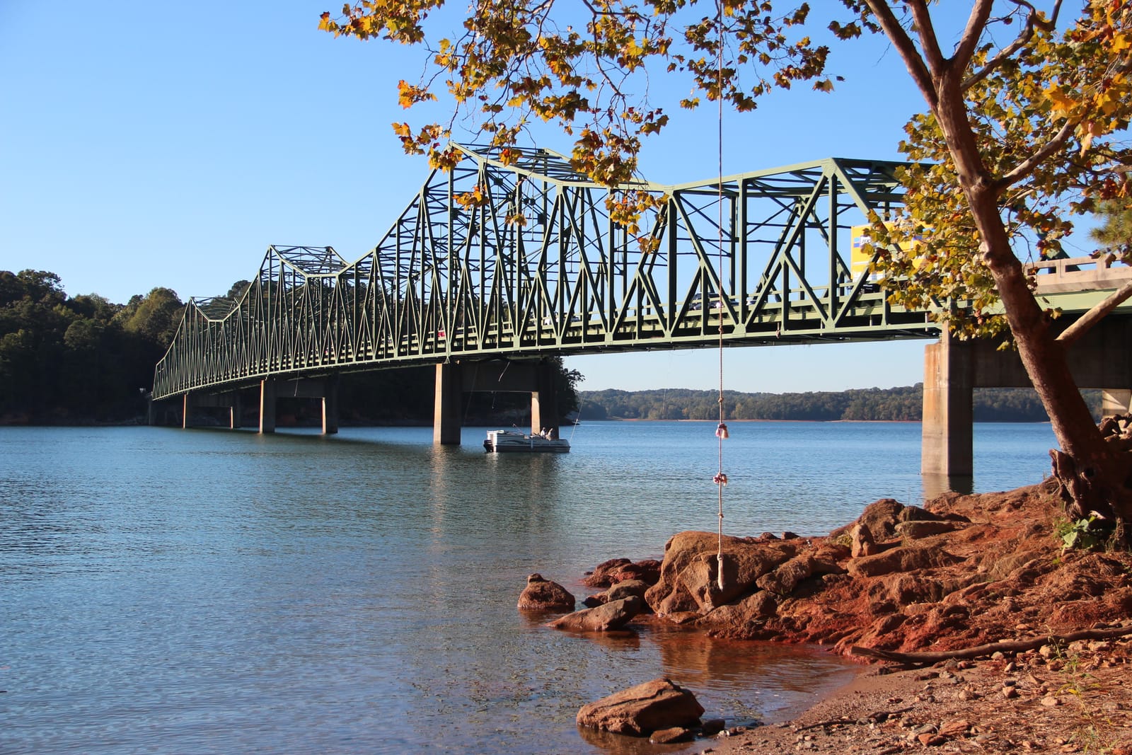
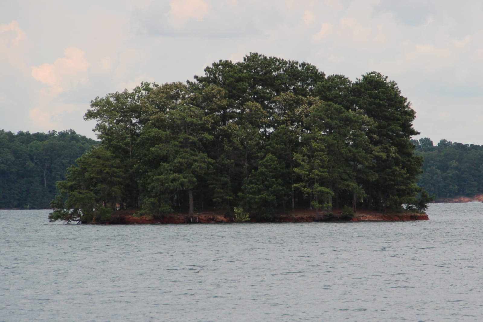
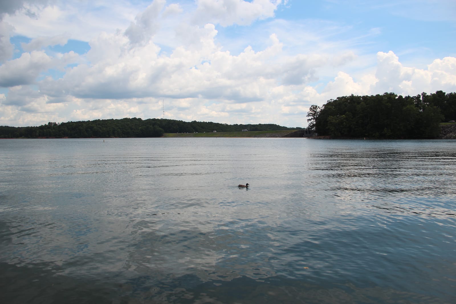
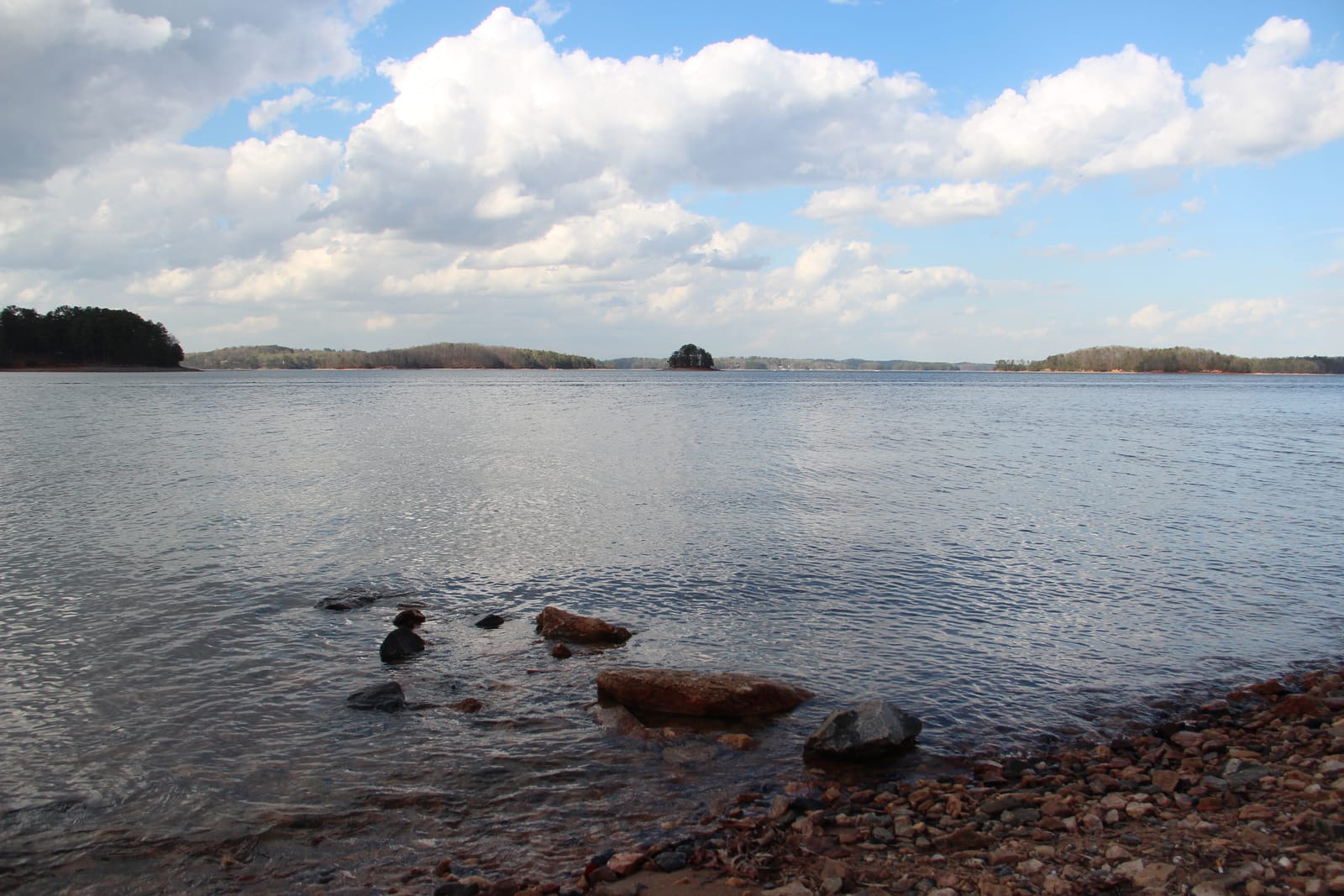
Lake Lanier, Georgia. Run by USACE Mobile District.
Lake Lanier level
Daily level, past 12 months, feet above sea level (NGVD29). Shaded: the normal range, the middle half of readings for each date, 2006 to 2025. U.S. Army Corps of Engineers; 1 day from the U.S. Geological Survey.
Monthly average since Jan 1, 1989; gaps where the record is missing. U.S. Army Corps of Engineers; 733 days from the U.S. Geological Survey.
About Lake Lanier today
How full is Lake Lanier?74.3% full, 7.6 ft below full pool
74.3% full by storage on Oct 26. Conservation pool between the bottom of operating pool (1,035 ft) and today's top of conservation (seasonal: 1,071 ft May to Oct, 1,070 ft in winter).
Full pool is 1,070.59 ft, the operator's target for this time of year.
How low is Lake Lanier?12.2 ft above its lowest since 1989
7.6 ft below full pool. The lowest daily level in our record since 1989 is 1,050.80 ft, on Dec 28, 2007.
Is Lake Lanier still dropping?Yes: down 0.45 ft this week
| Change | Feet | Level then |
|---|---|---|
| Past day (since Oct 25) | 0.13 down | 1,063.16 |
| Past 7 days (since Oct 19) | 0.45 down | 1,063.48 |
| Past 30 days (since Sep 26) | 1.41 down | 1,064.44 |
| Past year (since Oct 26, 2025) | 2.90 down | 1,065.93 |
Is Lake Lanier lower than normal?Yes: 3.7 ft below normal for this date
Normal for Oct 26 is 1,066.71 ft: the median of 140 daily readings within 3 days of this date, 2006 to 2025. Lake Lanier is 3.7 ft below it.
At 1063.03 ft, the lake is in conservation Zone 3 of the Corps' operating zones for Buford Dam (Lake Lanier), between 1061.83 and 1064.1 ft today.
Source: USACE CWMS location levels (operator data), Oct 26, 2026; the operator's own data.
What is the water temperature at Lake Lanier?No official reading for this lake
No USGS in-lake water-temperature gauge found within the lake area (checked 2026-10-24). Stream gauges above or below the dam were not used: tailwater and inflow temperatures differ from the lake surface. Checked 2026-10-26: CWMS has Buford.Temp-Water (lake side, no data since at least July 2026) and Buford.Temp-Water-TW (tailwater, 53.4 F, cold dam releases). No official lake-surface reading.
When was Lake Lanier last full?Jul 26, 2025
The last day in our record at or above 1,070.59 ft, today's full pool.
Lake Lanier full pool level1,070.59 ft
Full pool changes with the season; this is the operator's target for today. Elevations are feet above sea level (NGVD29).
Where it comes from: USACE CWMS location level "Buford.Elev.Inst.0.Top of Conservation" (refreshed daily; seasonal where the Corps sets a seasonal pool). Checked 2026-10-24. 1,071 ft May to Oct, 1,070 ft in winter.
Lake Lanier this time last year1,065.9 ft on Oct 26, 2025
2.9 ft lower than a year ago.
Are Lake Lanier boat ramps open?34 of 57 ramps have a usable lane
12 ramps are closed per the Corps and 9 are out of the water at 1,063.0 ft. See every ramp and its lanes.
Levels: U.S. Army Corps of Engineers, read Oct 26, 3:00 PM EDT. Normal and records come from Creek & Lake's stored daily history (8,118 days since 1989); they aren't official unless the operator publishes the same value.